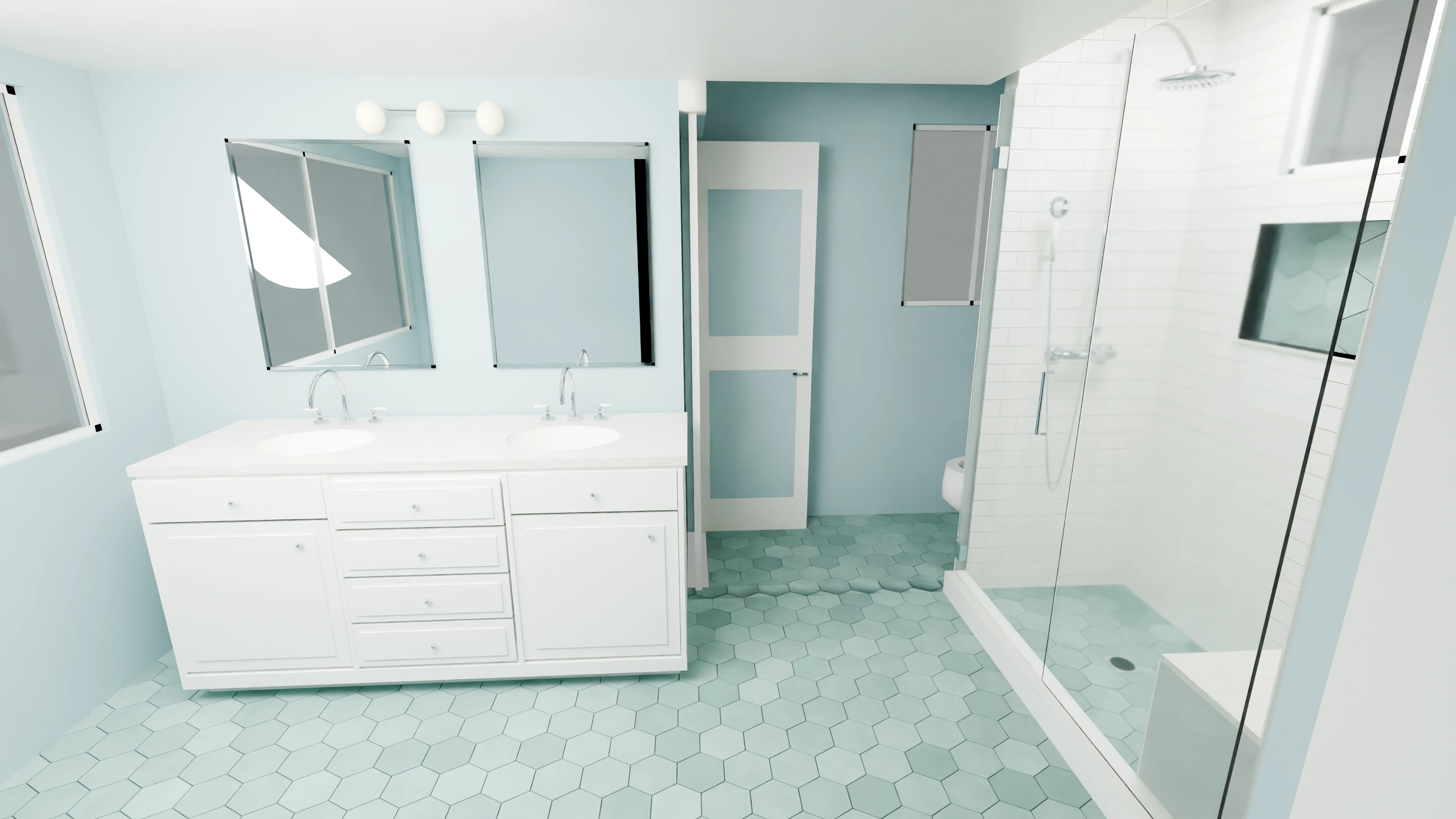
- Measured survey
- Field dimensions
- Laser scan / point cloud
- Existing CAD or PDF drawings
- Site photographs
Service / as built drawings
As-Built Drawings & Existing Condition Plans
Turn verified existing-condition information into a clean drawing or BIM base.
What this solvesClear scope.
Clear scope.
Useful output.
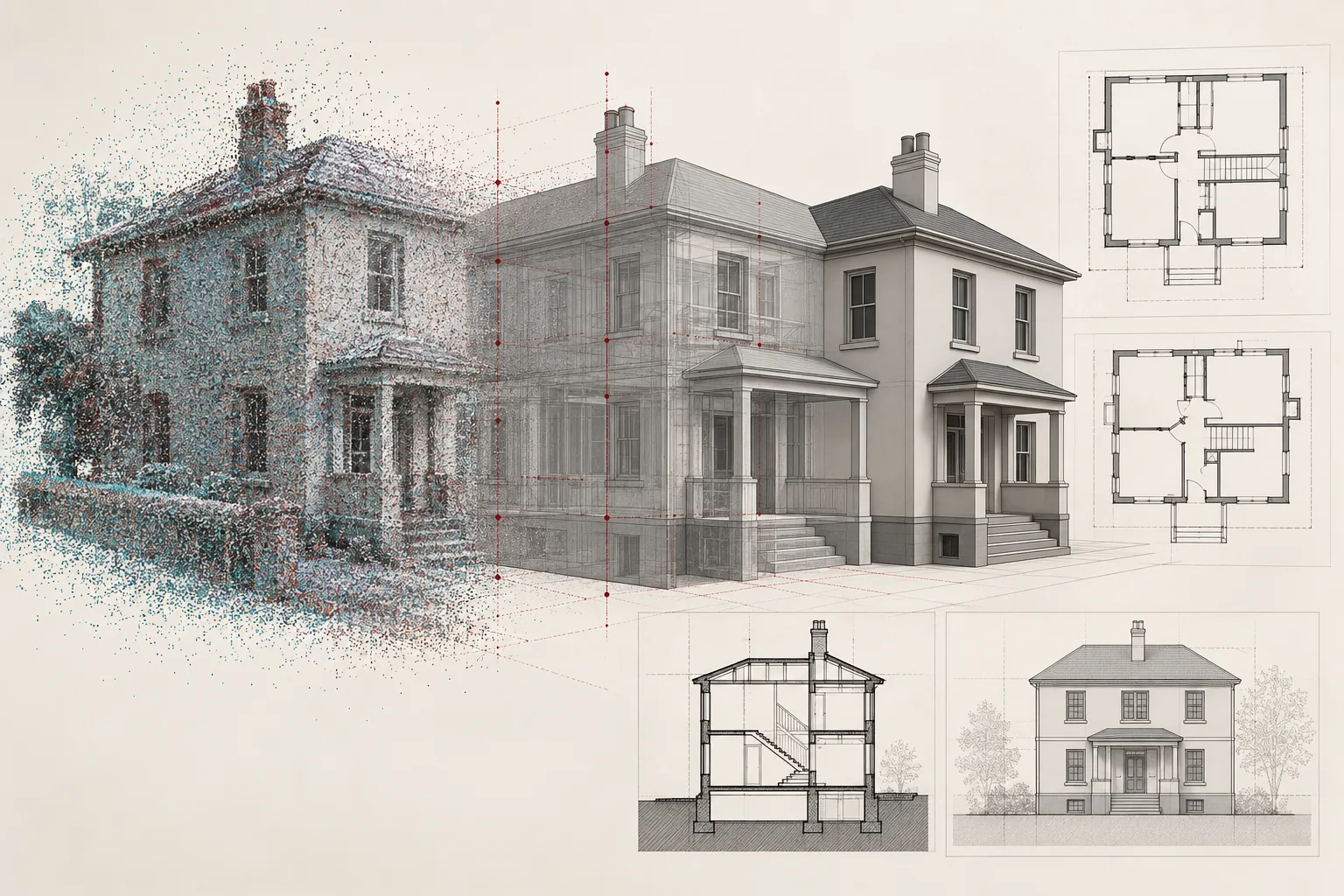
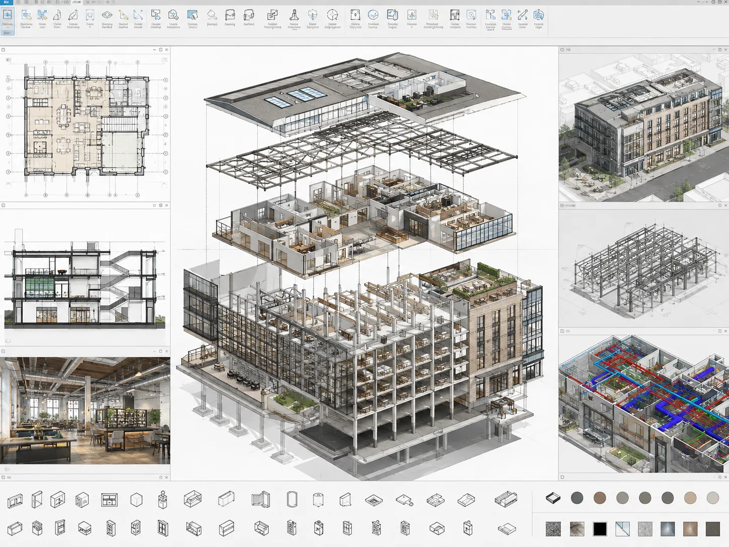
Artimist converts reliable survey information, field measurements, scans, point clouds and existing records into clear as-built plans, elevations, sections or BIM models.
Architects, builders, property teams and homeowners who already have verified site information and need it converted into organized CAD, Revit or PDF existing-condition documentation.
Full service overview and audience
Artimist converts reliable survey information, field measurements, scans, point clouds and existing records into clear as-built plans, elevations, sections or BIM models. We distinguish what was measured from what was inferred so the resulting base can be used responsibly for renovation and documentation.
Architects, builders, property teams and homeowners who already have verified site information and need it converted into organized CAD, Revit or PDF existing-condition documentation.
ScopeAgreed before production
ReviewsMilestones and revisions defined
HandoverFormats listed in writing
Local approvalsLicensed stamps stay local
Problems we solve
Where we become useful.
- Field information exists but only as measurements, scan data, markups or disconnected legacy drawings.
- A renovation needs a clean existing-condition base before proposed work can be coordinated.
- Old drawings do not clearly distinguish verified current conditions from historic information.
Scan / model / coordinated drawingsWhat can be included.
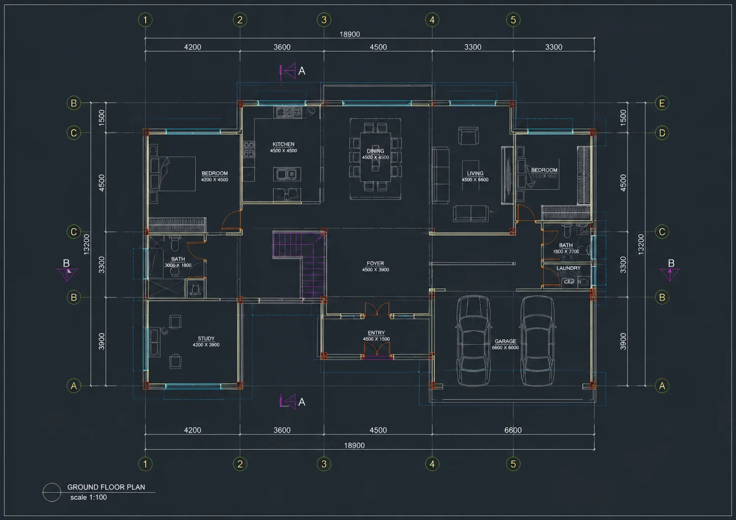
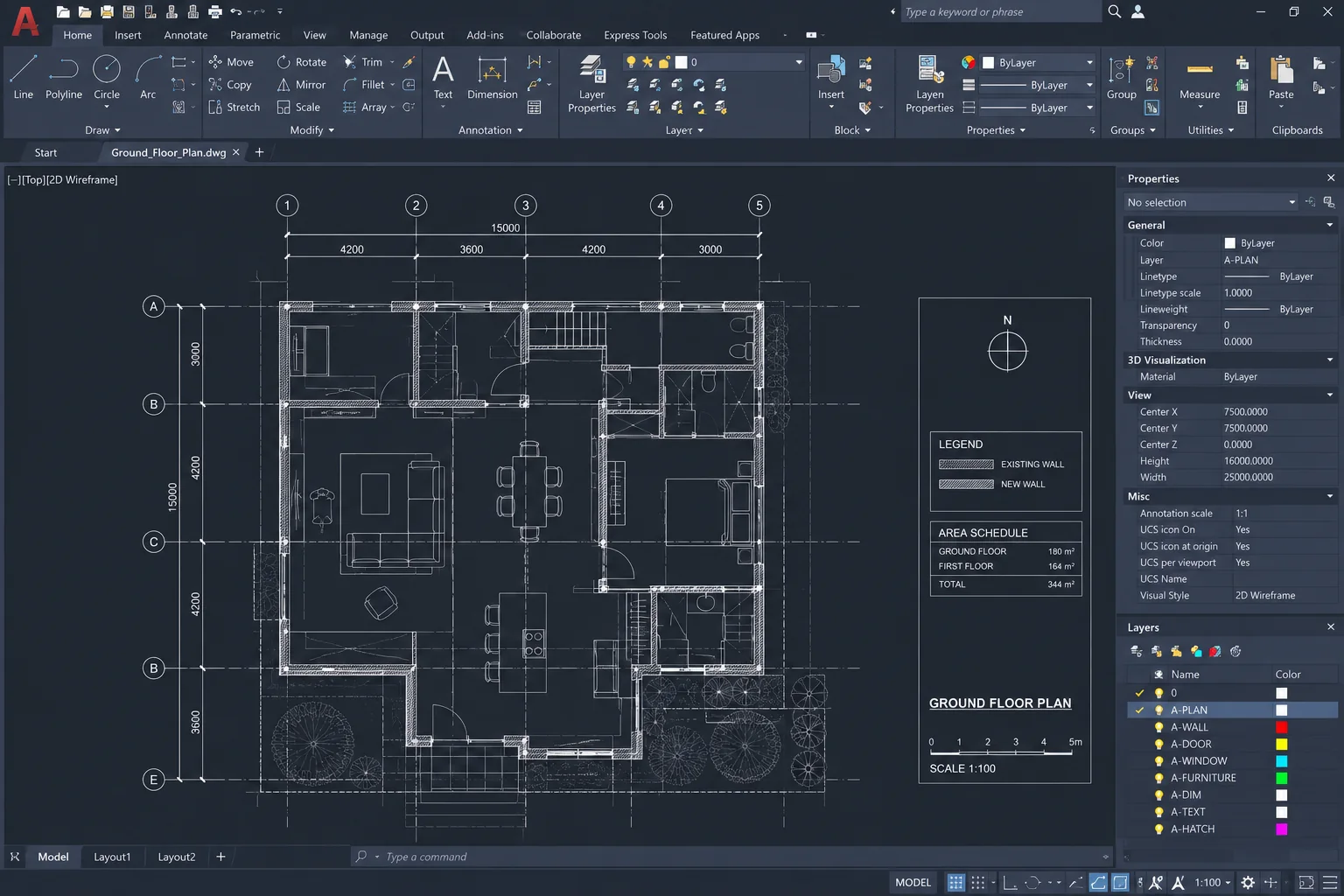
01As-built floor plans
02Existing-condition elevations
03Building sections where source data supports them
04CAD drafting
05Revit existing-condition model
06Point-cloud / Scan to BIM support
07PDF redraw and cleanup
08Source and assumption notes
- Existing-condition PDF drawings
- DWG or RVT files where included
- Model or drawing scope matched to supplied verification data
How the project moves.
Selected visuals illustrate the stages; they are not a single-project before-and-after sequence. Concept studies are not issued construction documents.
 01
01Review the source
We identify which information is verified, which is historic and which is missing before drafting begins.
02Build the existing-condition base
Plans, elevations, sections or the BIM model are created from the supplied verified information at the agreed level of detail.
03Check and hand over
The output is checked against the source and issued with its intended use and any unresolved assumptions made visible.
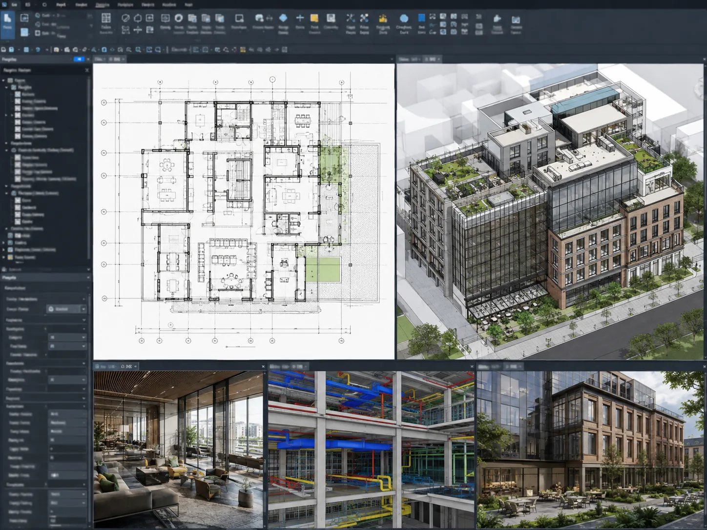
AutoCADAutodesk RevitRecapNavisworks
Explore the work in context.
Useful answers.
Can you measure my property remotely?
No. We can turn measurements, surveys or scans supplied by you or a local survey professional into drawings, but remote drafting does not replace physical field verification.
Can you create as-built drawings from a point cloud?
Yes. Point-cloud to BIM and Scan to BIM can be scoped where registered scan data is available.
Can you redraw old PDF plans into CAD?
Yes. We can digitize and clean old drawings, while clearly identifying that a redraw is not the same as verification of current site conditions.
What files can you deliver?
Depending on scope, PDF, DWG and Revit RVT files can be delivered.
Your project / next stepSend what you have.
Send what you have.
We’ll find the next move.
A plan, model, survey or rough brief is enough to begin.