What Is Scan-to-BIM?
Scan-to-BIM is the process of using captured survey data — commonly a point cloud from laser scanning or photogrammetry — as the reference for creating a structured building information model. The scan records existing geometry; the BIM model interprets that geometry into usable building elements.

A scan records existing surfaces. The BIM model is a deliberate interpretation built to a defined purpose, discipline and tolerance.
A point cloud is not automatically a BIM model
Point clouds can contain millions of measured points representing surfaces in the existing building. They are valuable references but they do not inherently know that a surface is a wall, door, slab or pipe.
The modeler must decide what to represent, how accurately to represent it and which irregular existing conditions should remain literal instead of being simplified into ideal geometry.
Define scope and tolerance before modeling
A Scan-to-BIM brief should define the disciplines to model, target model use, expected level of detail or information, coordinate system and acceptable geometric tolerance. Modeling every visible object is rarely necessary.
For renovation design, architecture may be the priority. For coordination, structure or building services may be equally important. The scope should follow the downstream use of the model.
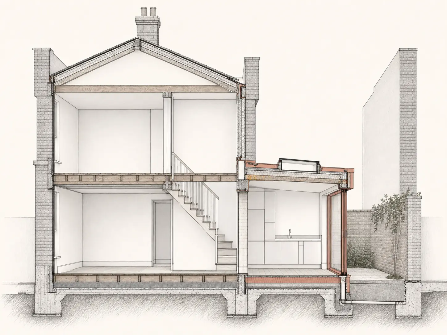
Typical workflow
The point cloud is registered and checked, linked into the modeling environment, and used to establish levels, grids and major geometry. Building elements are then modeled against the scan, with deviations or uncertain areas recorded according to the agreed procedure.
Quality control should include spot checks against the point cloud, especially around critical dimensions, irregular geometry and areas that will affect new construction.
What clients should provide
Supply the point-cloud format, survey coordinate information, project units, available drawings, required Revit version, modeling standards and a clear statement of what the model will be used for. If certain areas are inaccessible or incomplete in the scan, identify them before production begins.
Key takeaways
- The scan is measured reference data; BIM is an interpreted model.
- Accuracy and scope need written definitions.
- Model only the information needed for the next project stage.
- Quality control should compare critical modeled geometry back to the scan.