Source review
We inspect the supplied model, drawings and references before confirming scope.
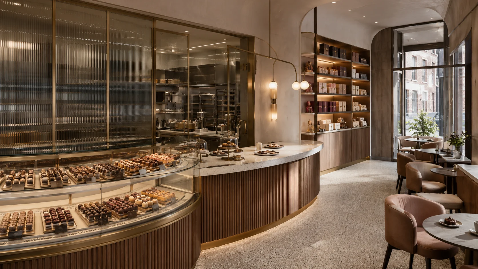
Make the whole site legible in one view.
Clients search for 3D site plans, rendered masterplans, aerial site visualization and bird's-eye property renders when a flat plan cannot explain access, buildings, parking, landscape and amenities together.
We inspect the supplied model, drawings and references before confirming scope.
Camera, geometry and atmosphere are approved at clear milestones.
Included revision rounds and change boundaries are written into the proposal.
Resolution, crops, source formats and delivery channels are agreed before production.
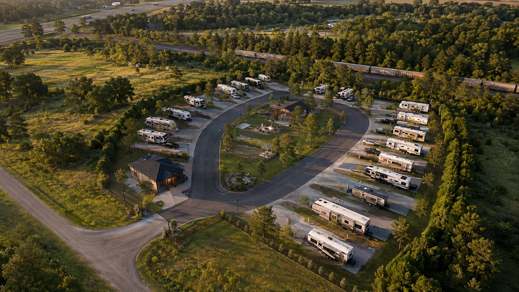
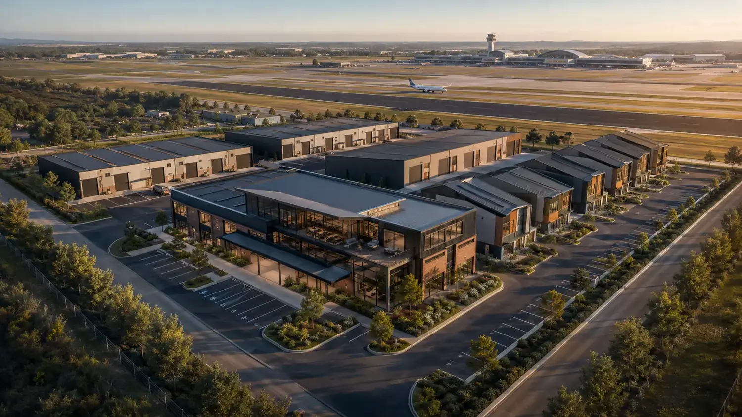
Aerial or axonometric images that show the relationship between plots, buildings, roads, parking, pedestrian routes, planting, amenities and surrounding context at a useful presentation scale.
We review the survey, CAD site plan, levels, landscape information and building models, then agree the camera and graphic style before developing the final high-resolution image.
Planning presentations, investor decks, sales material, community review, property websites, masterplan communication and early design-option comparison.
A 3D site-plan rendering is an aerial or axonometric view that translates a flat site plan into a clear visual of buildings, access, parking, landscape, amenities and surrounding context.
Send the current survey or CAD site plan, levels, landscape information, building footprints or models, road and parking layouts, and the intended presentation scale. Missing assumptions are identified before final production.
Yes. Early versions can compare layout or massing options, while later versions can add detailed buildings, materials and landscape. The visual detail should match the actual stage of design.
They are commonly used in planning and community presentations, investor decks, sales material, property websites and design-option reviews.
ARTIMIST / INTERACTIVE STUDIO
See and interact with your model through our site.
Choose a project, rotate it and zoom into the details. Explore architecture, interiors and product models directly in your browser.
EXPLORE THE INTERACTIVE STUDIO13 PROJECT PREVIEWS · ROTATE · ZOOM · EXPLORE
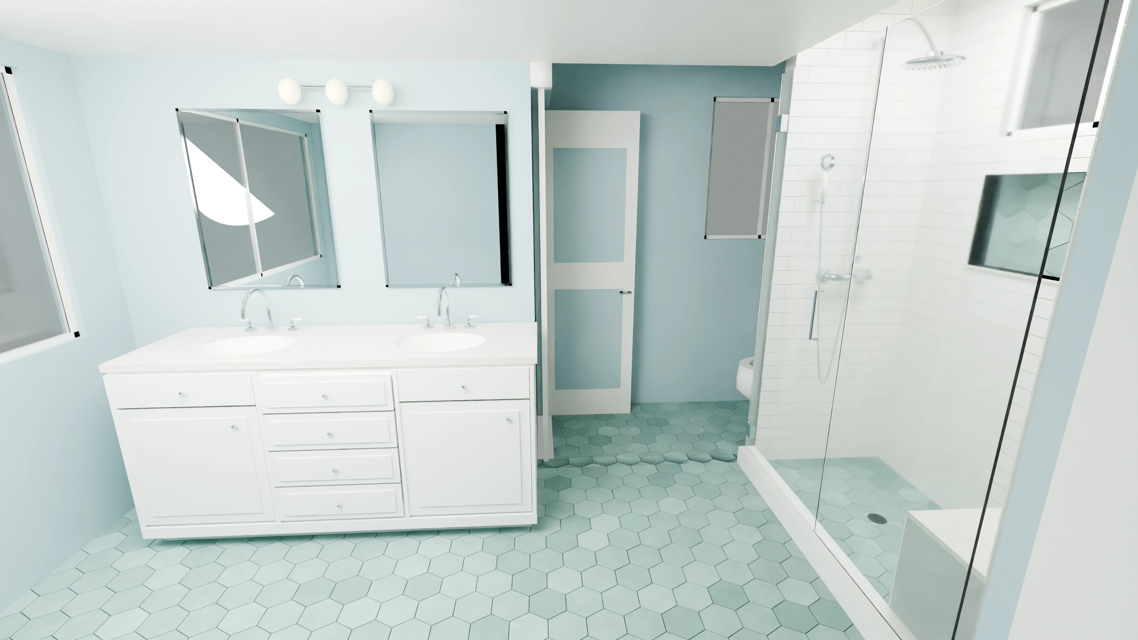 FROM PRESENTATION TO EXPLORATION ↗
Working standard
Scope, confidentiality and handover are agreed in writing. Project-specific signed terms always take priority.
Deliverables, timing, revisions and fees are agreed before production.
NDA-based workflows are available before sensitive files are shared.
Final PDFs, DWGs, RVTs, images, films or source files follow the written scope.
Required stamps, seals and statutory certification stay with the appropriately licensed local professional.
Verify the studio
Real work. Named people. Direct contact.Permit-support may include package preparation, coordination and submission support when agreed. Artimist does not supply a regional architectural or engineering stamp; any legally required stamp, seal or certification must come from the appropriately licensed local professional. Read full client terms →